GIS and Crime Maps
- Octo Spatial

- Mar 6, 2024
- 1 min read

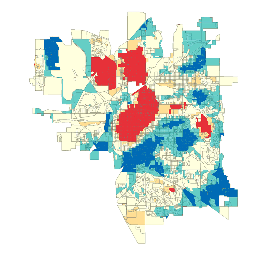
One of the pillars of criminological theory is that a crime requires three elements: a driven criminal, an appropriate target, and a place. Once the first two components of this crime triangle are in place, the stage is prepared for a criminal act to occur, thus analysts employ geographic information system (GIS) technology to map crime sites. Putting dots on a map, however, is only the first step in understanding a crime problem. To draw meaning from the criminal event, find trends in the data, and understand the wider picture, the context of the criminal event must be evaluated and compared with other crime data.
The tools for mapping crime have evolved with crime analysis. Analysts began by compiling crime data, detecting trends and clusters, investigating the link between crime and other sorts of statistics, and evaluating the efficacy of crime-reduction methods. All of these methods rely on GIS mapping. Simultaneously, researchers and police departments realized they could connect mapping software with law enforcement records management systems.
GIS extends beyond detecting criminality. Analysts determine when and where the next event will occur using powerful Esri spatial statistics and predictive analytic techniques. You may accurately comprehend community concerns and respond with appropriate information by applying geography to trends. You may also use Esri tools to evaluate crime trends, identify hot areas, and correlate crimes, offenders, cars, and associates based on their location. GIS enables police to make more informed judgments by providing customizable desktop, online, and mobile tools.
Analysis Capture: Lauren Scott and Nathan Warmerdam


コメント